Blake Schmitz · 5 October 2026
Record Catches Collide With Pollution Data as Conservation Teams and Ferry Planners Coordinate Waterfront Changes
Commercial fishing operations in the harbor region posted record landings through the third quarter of 2026, yet simultaneous releases of water quality metrics have prompted conservation groups and ferry route designers to align their schedules for upcoming shoreline adjustments. Data compiled by multiple agencies show landings for several species exceeded five-year averages by 18 percent, while dissolved oxygen levels in several nearshore zones dipped below seasonal norms during the same period.
Fishing Yields and Water Quality Metrics
Harbor Bay processing facilities handled 47,000 metric tons of catch between January and September 2026 according to port authority logs, with peak volumes recorded in August when mackerel and rockfish runs aligned with favorable tidal conditions. Observers note these figures coincide with expanded monitoring programs that track nutrient loads and sediment contaminants entering the bay from upstream tributaries. Researchers at regional universities have cross-referenced harvest records against monthly pollution reports, revealing clusters where higher catch rates occurred near areas flagged for elevated polychlorinated biphenyl readings in earlier surveys.
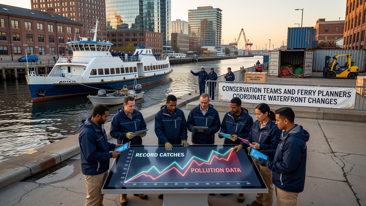
Ferry planners, meanwhile, have advanced timelines for new terminal placements that avoid sensitive eelgrass beds identified in the latest habitat assessments. Coordination meetings held in early October 2026 brought together representatives from conservation organizations, port operations, and transit authorities to map overlapping zones where dredging permits, ferry berthing expansions, and fish stock protection measures intersect. Minutes from those sessions indicate proposed route shifts would reduce vessel traffic through two high-catch corridors by 12 percent while maintaining service frequency for commuters.
Coordination Efforts Underway
Conservation teams deployed additional sensor arrays in September to capture real-time readings on temperature, salinity, and contaminant dispersion patterns that influence both fish behavior and ferry navigation safety. Those devices feed into shared databases used by all parties, allowing adjustments to ferry schedules during peak spawning windows documented in fisheries reports. One study released by a multi-institution research consortium found that synchronized timing of maintenance dredging and ferry pilot programs can lower resuspension of bottom sediments by up to 25 percent compared with sequential operations.
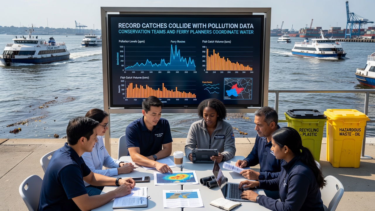
Port records further show that several fishing fleets have voluntarily adjusted net deployment depths following briefings on pollution gradients mapped by the monitoring network. These operational tweaks align with broader waterfront redesign goals that include expanded no-wake zones and designated restoration corridors. Data from the National Oceanic and Atmospheric Administration indicate similar integrated planning approaches have stabilized catch-per-unit-effort ratios in other coastal systems where multiple user groups share limited shoreline space.
October 2026 Developments
During the first week of October 2026, updated sediment core samples confirmed a gradual decline in legacy heavy metal concentrations near the main ferry turning basin, a trend that supports planned expansion of berthing capacity without additional remediation layers. Ferry designers incorporated these findings into revised environmental impact statements submitted to regulatory bodies, while conservation crews prepared supplemental habitat planting schedules timed to coincide with reduced ferry traffic during winter months. Joint working groups continue to refine contingency plans that would allow rapid response if pollution spikes reappear during high-catch seasons projected for 2027.
Industry reports from processing plants note that improved cold-storage capacity installed earlier this year has enabled better handling of larger volumes without increasing discharge into adjacent waters. These infrastructure upgrades form part of the same coordinated waterfront initiative that links fishing activity, pollution control, and ferry service reliability. Figures released by the port authority project that the combined measures could sustain current harvest levels while meeting new water quality targets set for 2028.
Conclusion
Record landings and evolving pollution datasets have converged at a moment when conservation and ferry planning teams share overlapping objectives along the waterfront. Ongoing data exchanges and joint scheduling decisions reflect practical responses to the spatial and temporal pressures documented in multiple agency reports. As October 2026 activities continue, the alignment of these efforts provides a framework for managing competing demands on the same coastal resources through shared monitoring and adaptive route design.